Challenges
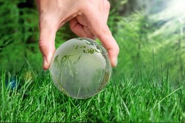
DECARBONIZATION
Decarbonization is the process of reducing carbon dioxide (CO2) emissions generated by humans in order to mitigate the severe, life-threatening effects of global warming. […]
UpToEarth is able to provide knowledge of satellite technologies, so that the technical elements involved in the acquisition, processing and use of information produced by earth observation systems can be incorporated into the construction of analysis and simulation models. In this way, assessing the feasibility of potential decarbonisation solutions and related services can be supported by the opportunities that today’s state-of-the-art earth observation technologies make available.

SOIL CARBON SEQUESTRATION
Soil carbon sequestration happens when plants capture and store, or “sequester,” atmospheric carbon dioxide (CO2) in the soil, increasing the quantity of soil carbon stocks. […]
UpToEarth has developed a series of services to monitor, certify and encourage carbon sequestration in agricultural soils through the use of high resolution multispectral EO time series processed by software algorithms based on advanced machine learning techniques. Through its projects and activities UpToEarth aims to restore soil structures through sustainable land management in order to lock more carbon in soils and biomass.
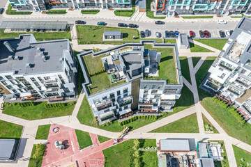
GREEN ROOFS
More than half of the world’s population lives in cities, making them the primary source of climate impact. The highest concentrations of gases in the atmosphere from human activities correspond to the emissions of CO2, which to date has increased three times its level compared to the beginning of the industrial revolution and is considered responsible for about 64% of global warming. […]
UpToEarth uses Earth Observation (EO) data to cost-effectively support scalable assessments of the potential benefits of retrofitting buildings with green roofs and the likely effect on stormwater runoff. The simulation scenarios use a mix of sensors including optical, synthetic aperture radar (SAR) and thermal infrared, compensating for the spatial resolution limitation of the raw datasets through various machine and deep learning techniques.
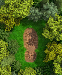
ENVIRONMENTAL IMPACT
Environmental impact refers to the impact on the ecosystem, in particular to modifications to the built or natural environment that are directly attributable to a particular activity and that may have a negative influence on the ecosystem’s inhabitants or on the air, land, and water. […]
UpToEarth, through the use of EO data and algorithms for the construction of predictive models, offers the opportunity to monitor areas of interest remotely, so that environmental data can be analysed directly by the end user to provide a baseline analysis of pre-activity environmental conditions and continuous environmental monitoring and make the impacts of human activities visible and measurable.
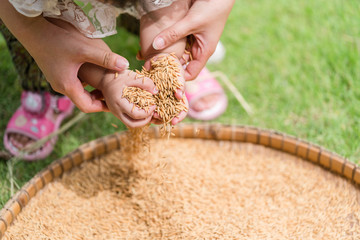
FOOD SECURITY
Climate change is very likely to affect food security at the global, regional and local level and can disrupt food availability, reduce access to food and affect food quality. […]
EO can provide a solid information base for the implementation of efficient food security strategies. […]
The service proposed by UpToEarth involves the use of satellite images with time series, reliably acquired over the entire area of interest. The time series make it possible to reliably discriminate crop types and derive growth indices for crop productivity. The service is able to support the performance of complex analysis activities for the implementation of regulatory and planning functions, improves agricultural monitoring capabilities and enables new measures for climate change adaptation and maintenance of food security.
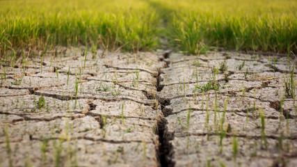
LAND DEGRADATION
Land degradation represents one of the main threats for the Earth and its inhabitants: it affects at least 3.2 billion people and costs about €5.5-10.5 trillion per year and 10% of the annual global gross product in terms of biodiversity and ecosystem services. […]
Many approaches and methodologies are suggested to tackle land degradation, all, however, show some accuracy-related limits. The use of Earth observation (EO) data has definitely been the most widely adopted method to assess the land degradation. […]
UpToEarth proposes an approach that differs from traditional studies based on the use of satellite data. In addition to land cover maps, it uses satellite data to characterise soil texture, weather conditions, agronomic interventions (tillage, fertilisation, etc.) and anthropogenic elements in the areas of interest. […]